A new view for Sleeping Bear
Nov. 16, 2008
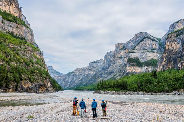
Seven years ago, there was a scorcher at the Sleeping Bear National Lakeshore. It wasn’t a forest fire (as is an ongoing fear of some who live next the the park); it was the flames of public opinion over a proposed Wilderness Management Plan that many locals thought was a bit extreme back in 2001.To take you back to those days of pitchforks and torches, there was speculation that the park would close several dirt roads leading down to popular beaches along Sleeping Bear’s 35-mile coast. And that fishing for coho salmon would be limited. And that large sections of the park would be declared “wilderness” territory, accessible only by hikers.
It was a public relations disaster, as park-goers blew their collective stacks over the threat of limited access. But one thing the public outcry proved is that people love Sleeping Bear, even though it sometimes seems we’re on the verge of loving it to death during the summer months when thousands seek the paradise of its beaches.
So give the National Park Service staff credit for knocking themselves silly since 2001, trying to include the public in the creation of a new plan. Under the leadership of Park Superintendent Dusty Schultz, the park has held more than 90 informational meetings, virtually pleading with the public to be part of the decision-making process in shaping Sleeping Bear’s future. More than 2,600 people have taken part in the meetings, and several hundred letters have been transcribed in an attempt to guide the process.
No one is likely to call the new plan extreme -- if anything, it seems rather snoozy, as if the pendulum of the park’s planning process just gave up and quit swinging.
With the help of a draft plan and public input, the park has created (brace yourself for some ponderous bureaucratic jargon here) a “Final General Management Plan/Wilderness Study/Environmental Impact Statement.”
“Perhaps the most significant changes are that the Cottonwood Trail into the dunes from the Pierce Stocking Scenic Drive has been removed from proposed wilderness, and electric motors will be allowed on Otter, Tucker, and Bass lakes,” Schultz writes in an introduction to the plan.
(Not the sort of changes you’d expect to get anyone’s underwear in a bunch.)
Under the park’s preferred alternative, which is expected to be adopted, Sleeping Bear will remain a visitor-friendly destination with an emphasis on preservation. This includes designating 32,100 acres -- or 45 percent -- of the park as wilderness. No developed county roads are within the proposed wilderness areas, so on that score, the park will retain the same character as in the past.
There are, however, plans for some new hiking trails and backcountry campgrounds, along with a new campground on North Manitou Island. The preferred plan also calls for improvements to various parking lots, picnic areas and the possibility of day trip ferry service to North Manitou Island.
There’s also the suggestion of a future scenic road or a biking/hiking trail through the park, but not within the 20-year life of the plan. So why bother mentioning the idea? Because the park service plans to keep acquiring property from willing sellers along M-22 in the hope that the scenic road or bike path will be possible some 25 years from now.
Obviously, a lot of work has gone into the plan, and if you didn’t get your two cents in, you can’t blame the park. Check it out -- you own the place, after all, as a citizen of the United States of America. You can download the plan on a link at www.nps.gov/slbe.
Some Sleeping Bear facts:
• Sleeping Bear National Lakeshore was created by an act of Congress in 1970, with the late Sen. Phil Hart championing the park. Today, more than one million people visit the park each year.
• Including North and South Manitou islands, the 35-mile-long park comprises 71,291 acres. It includes some 350 historic buildings from the farming era.
• There are 100 miles of hiking trails in the park. It also offers some of Northern Michigan’s most popular beaches, including Good Harbor, Otter Creek, Platte River, Peterson, and many remote stretches known only to locals.
• The park’s last general management plan was created in 1979. The plans are meant to look only 20 years into the future, so the current plan is long outdated. Since 1979, the park has added the lakeshore at Bow Lakes, Miller Hill, and the Crystal River, along with many indvidual parcels.


Trending
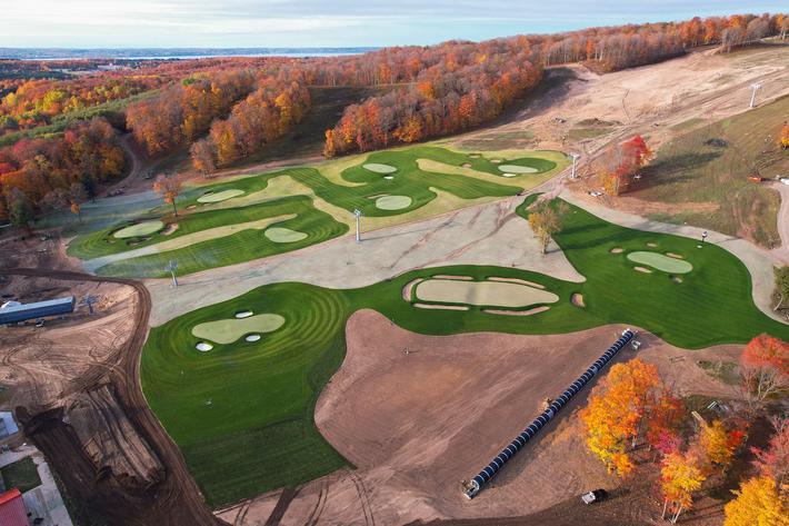
The Valleys and Hills of Doon Brae
Whether you’re a single-digit handicap or a duffer who doesn’t know a mashie from a niblick, there’s a n... Read More >>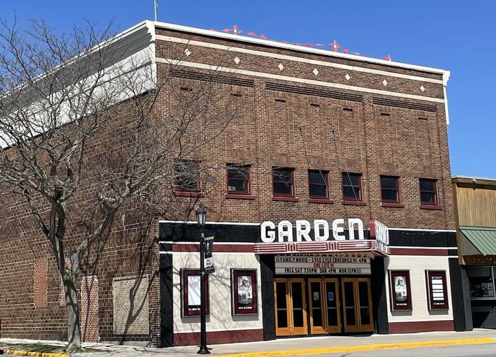
The Garden Theater’s Green Energy Roof
In 2018, Garden Theater owners Rick and Jennie Schmitt and Blake and Marci Brooks looked into installing solar panels on t... Read More >>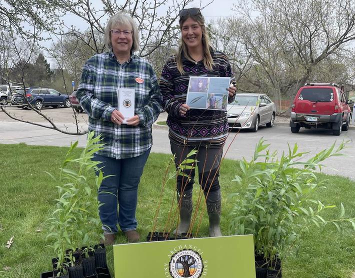
Earth Day Up North
Happy Earth Day! If you want to celebrate our favorite planet, here are a few activities happening around the North. On Ap... Read More >>