Beaver Island
Aug. 29, 2010
You’re on Island Time: Step into the past with a trip to Beaver IslandBy Mike Terrell
The Emerald Isle calls me every few years. It‘s my favorite of the various islands we can access from the Lower Peninsula. No fudge shops and grand hotels, just a timeless, rustic quality that I find appealing. Camping, mom and pop motels and family-run lodges are your choice of lodging.
The St. James Township Park, located on the north end of the island fairly close to the ferry dock, is popular with mountain bikers. I had always taken the ferry, which is a two-and-a-half-hour trip one way, on previous trips. This last time I chose to fly Island Airways out of Charlevoix, which takes about 15 minutes; and, I was able to take my mountain bike with no problem.
On the island, I rent an old mini-van from Beaver Island Marina to transport myself and bike to the southern end of the island. Beaver is a fairly large island with over 100 miles of mostly bad dirt roads and trails. An eight mile strip of pavement runs south out of the historic village of St. James.
GREAT CYCLING
I drive down to Fox Lake, park and bicycle the southern half of the island. It’s a 21.5 mile ride, which takes you along the southern shore and the Beaver Head lighthouse. A climb up the lighthouse, which is open to the public, yields an impressive view – on a clear day – of many of the smaller islands that form an archipelago around Beaver.
If you bike down from St. James and tour the south end of the island the distance would be around 40 miles, which was a bit more than I wanted to attempt. The ride up the west side of the island back to Fox Lake climbs up along a heavily forested bluff in a series of stair steps. Much of the interior of the island is encased in bogs and swamps. Stay on the named roads and trails.
Another ride I enjoy taking right from the village is down around Donegal Bay and back. It’s a 12 mile ride and actually has a two-mile section of trail rather than just dirt roads.
You head south on paved King’s Highway, which is a reference to the Mormon influence on the island during the 1850s and their leader James Strang, who declared himself a king. In a couple of miles turn right on Barney’s Lake Road, which is the intersection with the island’s only gas station. Head over to Sloptown Road. Along the way you pass beautiful Barney’s Lake.
Take a right on Sloptown and pass some old homesteads with wooden fence lines and century-old wooden cabins. The lane is partially lined by beautiful old oak trees. A plaque at one of the homes tells of its history and owner, a man named Protar. His tomb is just up the road, and also marks the entrance to the two-mile Kuebler Trail, which runs along the backside of Barney’s Lake over to Donegal Bay. Mostly forested except for some small dunes along the lake, the trail offers a nice mountain bike experience. It even has a small tunnel you ride through.
BEAUTIFUL BAY
Donegal Bay is a beautiful Cape Cod-like bay with white sand beaches and cottages tucked into dunes. You come out of the trail at McCauley’s Point, a state-owned piece of land with panoramic views of the bay and High Island, located about four miles off shore. It’s a nice place to hike down along the shoreline through low dunes. Piping plover have nested here in the past, but weren‘t using the area during my last visit.
Mt. Pisgah, a towering blown sand dune that rises 150 feet above the bay, is one of the highest points on the island. Located along Donegal Bay Road, it‘s on the way back to the village. The view from the top of the bay and islands off the coast is well worth the climb. As you look inland all you can see are the tops of trees stretching as far as the eye can see. It’s a great place to watch a sunset.
On my last visit I was able to hike with Beaver Island Eco-Tour leader Eric Myers. He and his wife Carrie organize hikes exploring the island’s unique and natural habitats. One of the hikes was along McCauley’s Point where I learned about the plovers. We also took a hike down to Little Sand Bay along an extensive trail and boardwalk system. It traverses a variety of wetlands and streams before coming out on a beautiful deserted sand beach. Along the way we spotted a couple of Nodding Trillium, which is rarely found on the mainland.
DINING OPTIONS
Fresh whitefish dinners are always in vogue on the island. Good choices are the Shamrock – a legendary island pub – and the Beaver Island Lodge, whose dinning room is a wall of windows looking out over Lake Michigan and distant small islands. Sunset dinners don’t get much better.
For more information on the island, its businesses and services, you can visit beaverisland.org. A tour of the Old Mormon Print Shop Museum is a great place to learn about the island‘s fascinating history.
The island offers a remote existence. Islanders enjoy a relaxed, easygoing way of life. Locals refer to the mainland as the United States, which seems appropriate since Strang started the movement 150-some years ago.
It‘s always nice getting back to Beaver Island. Nobody ever seems in a rush. What doesn’t get done today can wait until tomorrow. My cell phone didn’t work on the island, which was just fine. I was on island time.
Fall is a great time to visit, and the colors normally run later here than on the mainland. I‘ve been here the second week of October and it was magnificent.


Trending
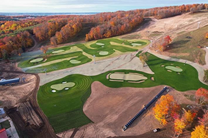
The Valleys and Hills of Doon Brae
Whether you’re a single-digit handicap or a duffer who doesn’t know a mashie from a niblick, there’s a n... Read More >>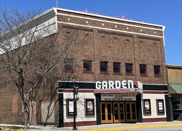
The Garden Theater’s Green Energy Roof
In 2018, Garden Theater owners Rick and Jennie Schmitt and Blake and Marci Brooks looked into installing solar panels on t... Read More >>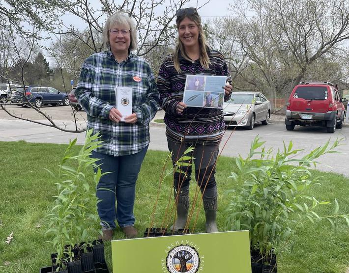
Earth Day Up North
Happy Earth Day! If you want to celebrate our favorite planet, here are a few activities happening around the North. On Ap... Read More >>