Drained ... Brown Bridge Pond
July 3, 2011
Drained…It’s our last year to enjoy Brown Bridge PondBy Mike Terrell
Brown Bridge Pond, the centerpiece for the Brown Bridge Quiet Area, has been with us for nearly a century, enjoyed by thousands of visitors over the years for paddling, fishing, and watching wildlife along its quiet hiking trails bordering the pond.
It was created when the dam was erected in 1921, but the dam is slated for deconstruction beginning next year. That will be the end of this delightful, scenic, wildlife area as we’ve known it. The pond is scheduled for a 13-foot interim drawdown beginning late this summer or early fall, which will expose nearly 100 acres of previously unexposed bottomlands.
I’m of mixed emotion. I will miss this wonderful natural area with its 191-acre pond and all the waterfowl and wildlife it plays host to. But, it will be exciting to see the river again flowing free through this valley both for fishing and paddling. The rapids created at the dam site will rival and may surpass the Beitner Rapids. This site had the greatest river fall of all the dam sites.
Steve Largent, head of Grand Traverse County’s Land Management Services, once said of the pond, “It’s like a little piece of northern Canada tucked away in northern Michigan.”
A QUIET PLACE
Other than the dam and landing area on the east side of the dam there aren’t any other signs of civilization, unless you count the three benches and two observation platforms located along the high bluff along the west side of the pond.
Recently I took off from the landing a little after 7 p.m. and spent a couple of hours just slowly paddling around the shoreline. It’s a little over a mile heading north up the pond to the point where the Boardman River enters. I figure the total paddle is around 2.5 miles, but distance isn’t the point anyway.
Taking the time to enjoy the setting is what is should be about. When you paddle the river from Forks Landing down to the dam it’s hard to enjoy what the pond has to offer. At the end of a river run you just want to get through the pond and the normally pesky wind that you have to paddle against.
I just enjoyed paddling around the pond that evening. There were a few other row boats out with fishing couples. Bass, pike, perch and bluegill are popular pursuits for the fishers.
Paddling up the west side of the pond underneath the bluff I could occasionally hear people talking from the two viewing platforms high above. Sound does carry over the water even from that high up.
The bottom disappears very quickly as you watch it plunge into the depths. Largent said this was where the original river ran before the dam was erected. The pond is probably about 30 to 40 feet deep along most of the bluff.
WILDLIFE SIGHTINGS
Reaching the northern end of the pond, where the river enters, I spotted a couple of deer coming down to the shoreline for a drink. Spotting me they darted back into the woods a little way, watching as I paddled on by.
An osprey flew over the marshlands along this end of the pond. He flew over the area a couple of times hunting for an evening snack.
At one point a head, which surprised me, something popped up next to one of the many submerged stumps along the bank. It was a large snapping turtle, and he didn’t stay up long. I could hear him sucking in air as he quickly disappeared again.
The nesting loons were on their nest, and had at least one chick in tow. I couldn’t tell if there were more, but the one was following the father around the nest in the water. The mother was setting on the nest. They were delightful to watch, and listening to that eerie, yodel-like call they make is always a treat.
After floating for a while in the vicinity of the nest having my own little private “Animal Planet” show, I paddled on towards the landing and was rewarded with being able to watch a trumpeter swan forage in the shallows with some chicks nearby. These large cream colored birds with their air-horn calls and black beaks are slowly making a comeback in the area, according to Largent.
If you hike north along the bluff trail to the most northern overlook platform you sometimes can spot an eagle’s nest on the opposite side of the pond high in a white pine tree. You need binoculars.
The lake-size pond runs southwest to northeast. The landing is located off Brown Bridge Road just north of the dam. The trails along the bluff are accessed by a couple of parking lots off Hobbs Highway about 12 miles southeast of Traverse City.
It’s a special place. Get out and enjoy it this summer, because by next summer it will likely be much different. Hiking trails won’t change along the bluff, just the scenery. But, you won’t be able to paddle it anymore, and much of the waterfowl will be gone.
It will be interesting observing the change. I wonder if they felt the same 90 years ago.


Trending
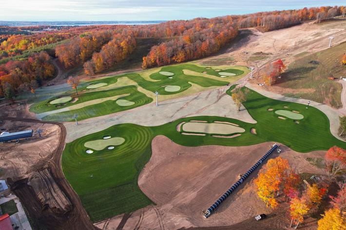
The Valleys and Hills of Doon Brae
Whether you’re a single-digit handicap or a duffer who doesn’t know a mashie from a niblick, there’s a n... Read More >>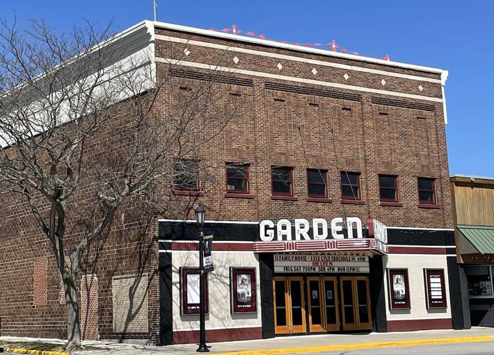
The Garden Theater’s Green Energy Roof
In 2018, Garden Theater owners Rick and Jennie Schmitt and Blake and Marci Brooks looked into installing solar panels on t... Read More >>
Earth Day Up North
Happy Earth Day! If you want to celebrate our favorite planet, here are a few activities happening around the North. On Ap... Read More >>